Project Description
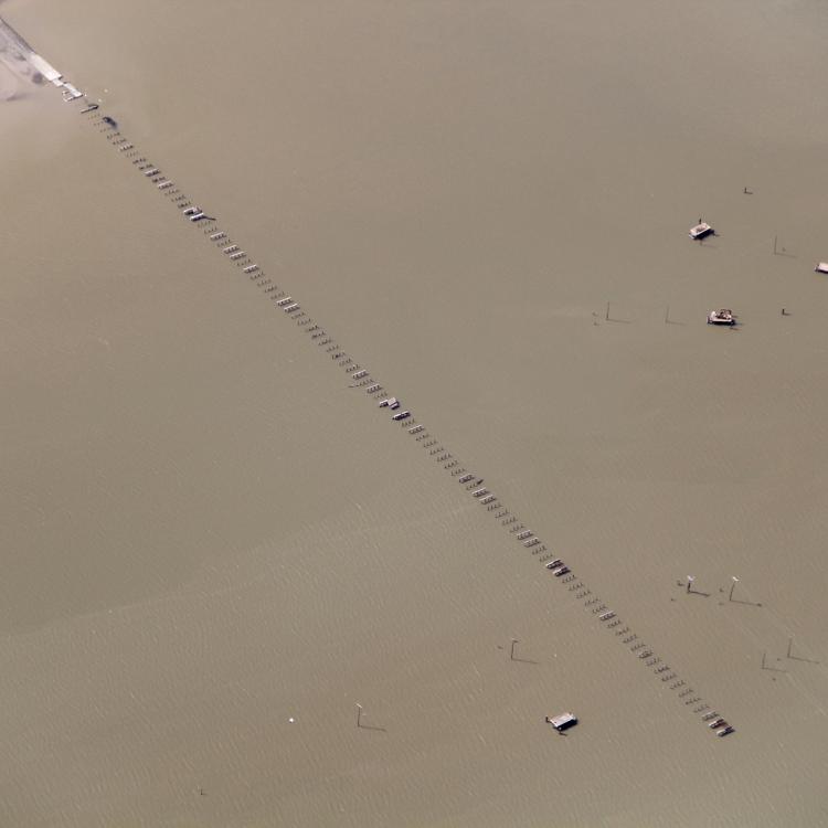
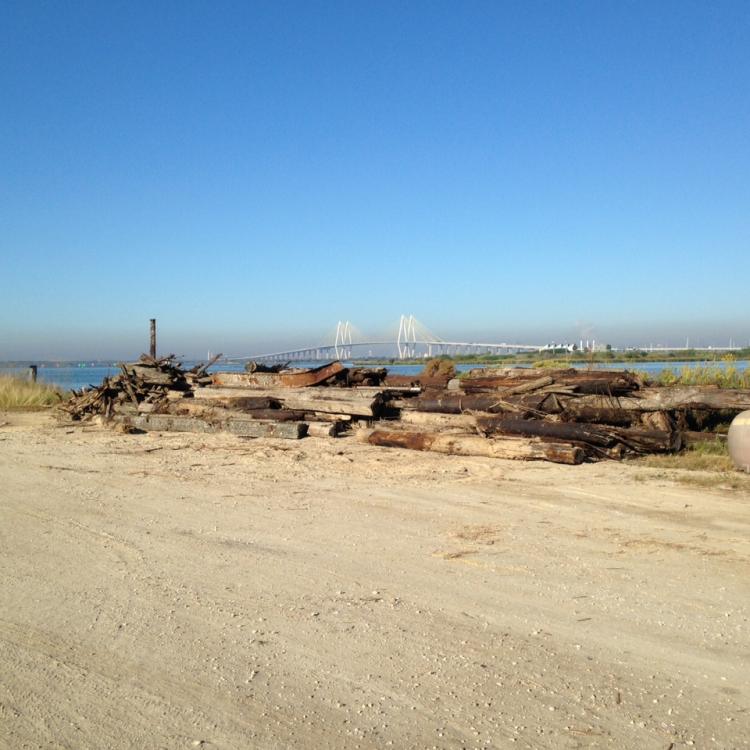
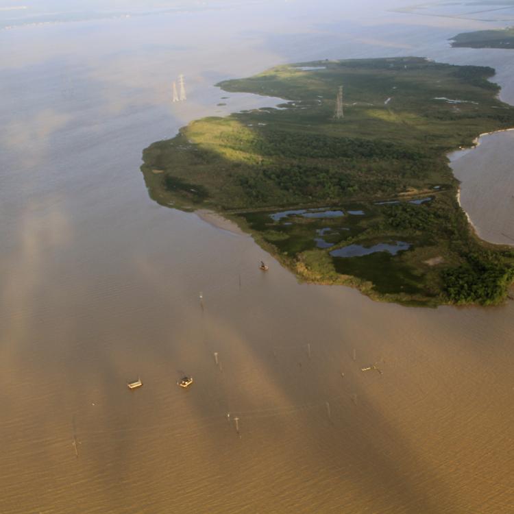
The City of Baytown will remove and dispose of approximately 450 submerged and partially submerged pilings from derelict drilling rigs, defunct derrick platforms, and damaged service docks/piers from Tabbs Bay. The removals will take place near Goose Creek, along State Highway 146 near Missouri Street, east of the Fred Hartman (Baytown/LaPorte) Bridge, and on the northern shore of the Houston Ship Channel, in Harris County. The USGS Quad reference map is: Morgan’s Point, Texas. The project supports public access and enjoyment of the coastal zone, improves navigability to the public boat ramp and provides a safer waterfront area for recreational activities such as boating, fishing, and jet skiing.
Basics
Harris
Classification
- CMP 306
Waterfront Revitalization & Ecotourism Development
Contacts
Timeline
2016
 In February 2014, before removal of pilings
 Image of some of the pilings removed from Tabbs Bay
 Tabbs bay in April, 2016 after removal of approximately 450 pilings


